Learn the names on the map
Redwood National and State Parks combines the national park with Prairie Creek Redwoods, Del Norte Coast Redwoods and Jedediah Smith Redwoods State Parks. Understanding those names helps you choose a base and prevents the expectation that one entrance will place every grove within a short walk.
For a limited stay, select a northern or southern cluster and use the official map to identify the actual roads and trailheads. A broad search for “Redwood hotel” may return a room that is useful for a different part of the region than the one you intend to explore.
Choose a forest experience before collecting attractions
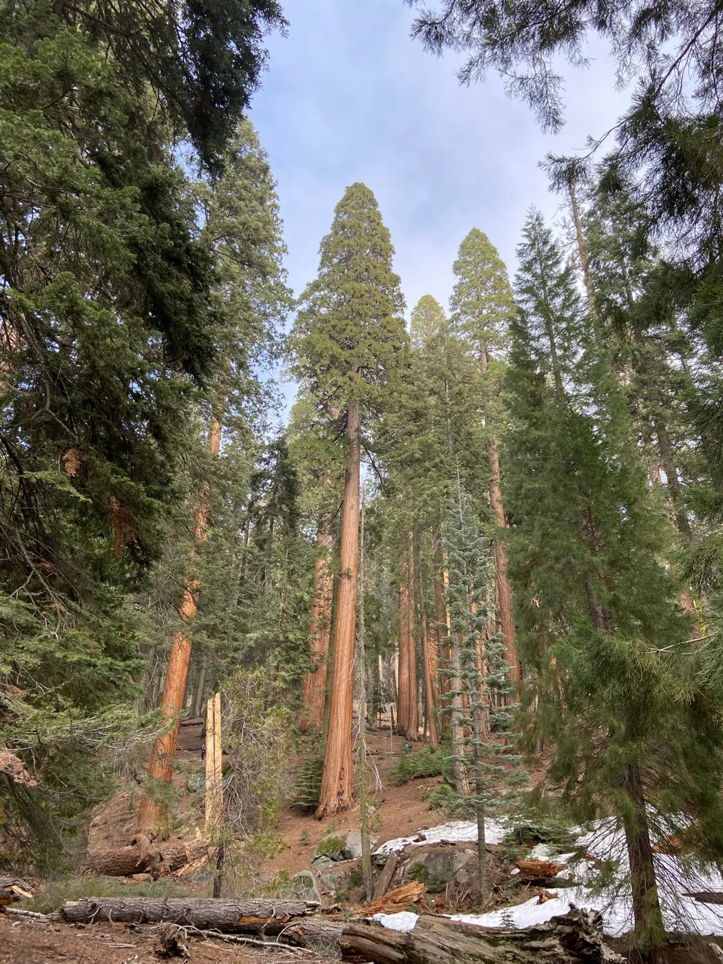
Decide whether you want a modest grove walk, a longer trail or a combination of forest and coast. Give the forest outing enough time to move slowly. Looking up, noticing the undergrowth and allowing your eyes to adjust to the light are part of the experience; they do not fit neatly into a quick photo stop.
Read the current route description and accessibility information for the specific trail. Grove names alone say little about walking surfaces or the journey to reach them. If someone in the group needs a shorter route, select that deliberately rather than assuming every redwood walk is flat.
Check special access separately
Some popular destinations have their own access arrangements, fees or reservations. Use current official information for the place you intend to visit, particularly if you are considering Fern Canyon or an unpaved approach. A general park visit and a particular site reservation are not the same transaction.
Do not let a social-media photograph turn a limited-access location into the only acceptable version of the trip. The region contains many ways to experience the trees. If an intended site is unavailable or the approach does not suit your vehicle, choose a suitable alternative from the park's current guidance.
Use a northern or southern cluster deliberately
A northern plan can focus on the Jedediah Smith and Del Norte Coast side of the park system, while a southern plan can prioritize the Prairie Creek area and nearby national-park destinations. Use the official map to choose individual stops within that broad division. It is an organizing idea, not an instruction to visit every site in a cluster.
If you have one full day, select the cluster that fits your arrival route and preferred overnight town. If you have two genuinely full days, you can consider one cluster on each, but include the transfer in your timing and decide whether changing accommodation is worth the packing effort. Staying in one room may be simpler even if it means leaving some areas for another trip.
For photographers, a longer stay in one grove can be useful because forest light is subtle and changes with conditions. For families, a shorter trail with time to pause may be more memorable than a second distant grove. Those are reasons to reduce the geographic scope, not signs that the park visit is incomplete.
Put the coast in its own block
Forest and shore can make a rewarding combination, but each has its own conditions. If you add a coastal stop, check its access and safety guidance rather than treating it as an automatic extension of the woodland walk. Leave enough daylight for the return to lodging.
Pack for damp or changing conditions and save maps before driving into areas with uncertain reception. For two nights, one main cluster per day is a useful upper limit, not a target you must reach. Repeating a nearby walk at a quieter time can be more satisfying than spending the second day driving to another distant grove.